In this blog, we’ll highlight our favorite planning and navigation tools. And yes, we use more than one! We believe combining them makes the result even better. And perhaps, after reading why we do it, you’ll start doing so too.
Text continues below photo
Planning
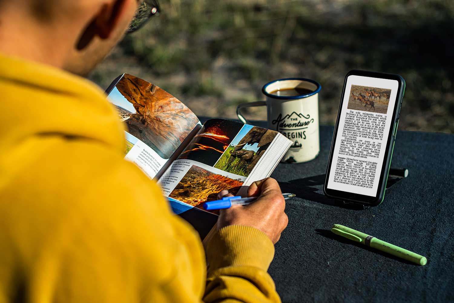
In the planning phase of your trip one thing is paramount; make sure to have one central place where you can write down, or save, every point of interest. Countries, regions and/or continents are full of highlights, bush camps and campsites, and other things that you don’t want to miss out on. So, before you find yourself digging for that one screenshot you made of something, make sure to have one place where you can always go back to.
1. iOverlander
The very first item on this list will be one known to many: iOverlander. This simple yet thorough app has an incredible database full of points of interest, all uploaded by users of the app – fellow overlanders. iOverlander has information on basically anything you’d want to know, from corrupt police checkpoints to laundromats in capitals. And of course, you can find gas stations, campsites (in the bush as well as established ones), embassies, and other relevant items here.
One downside of iOverlander to us, is that you can’t save any of these points as favorites. In a country full of good bush camps, for example, it takes some time to find the ones you were interested in during your previous search. So, as we stated above, make sure to save these locations to one app (that you can access offline) that you love most.
2. Tracks4Africa
When in Africa, Tracks4Africa is definitely your go-to app. Alongside iOverlander, this app is great for finding hidden gems and planning routes. The app can be accompanied by paper maps, also from Tracks4Africa or their country-specific guidebooks. As a combined package, it will give you all you need for an overlanding trip in Africa.
What’s best about this app, is not the visualization of points of interest, but the intricate and greatly detailed mapping of tracks. Wherever you are, regardless of how remote you might be, Tracks4Africa shows you what type of track you’re on (from sand, to gravel, to riverbeds prone to flooding). There is no other mapping software out there, that is as complete as Tracks4Africa, making it essential in your arsenal of apps and planning tools.
Note: to get all the information about points of interest, as well as the full zoom level of the map in the app, you have to buy certain packages.
Text continues below photo
3. Bradt Guides
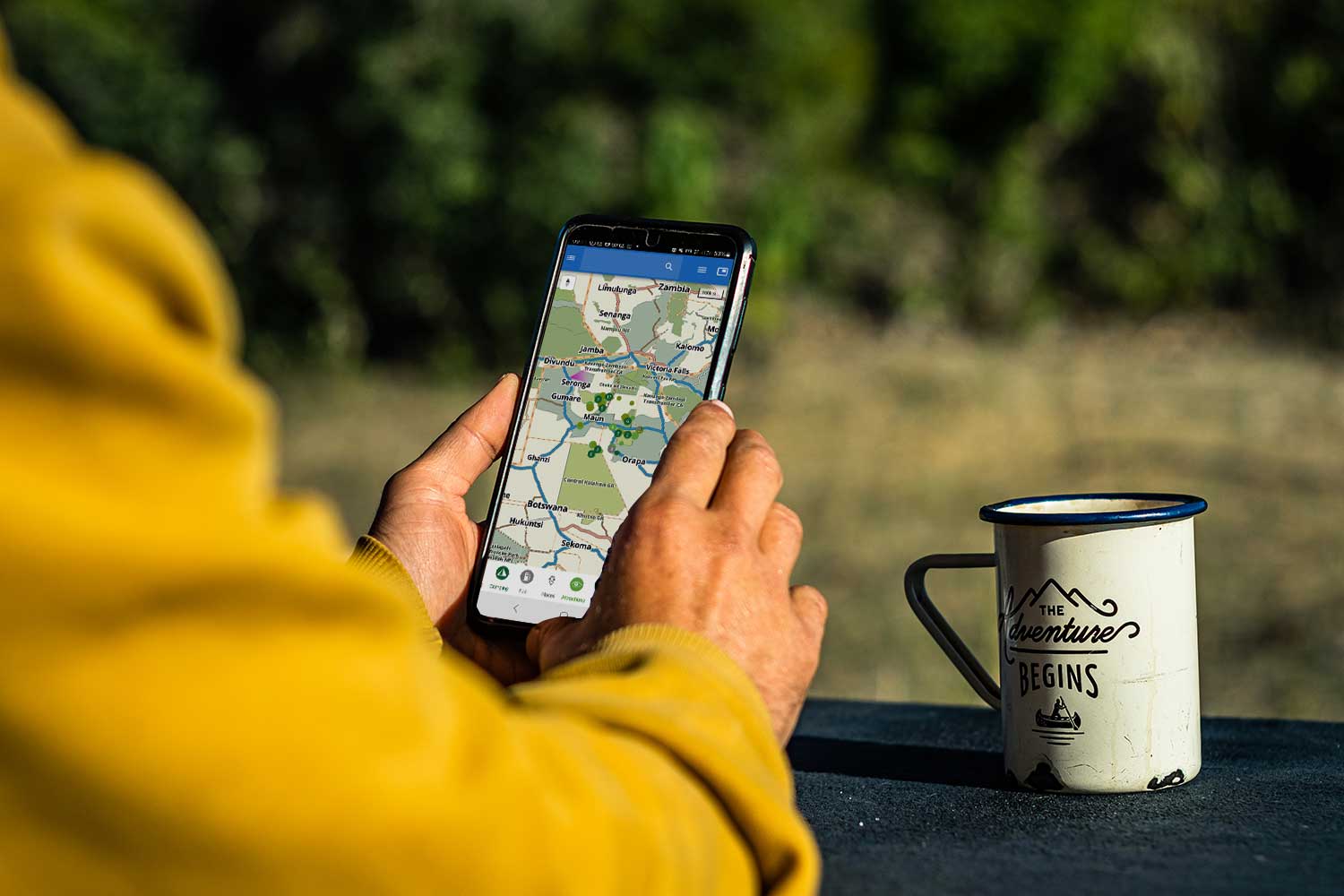
If you’re looking for the best paper (or e-book) guides out there, Bradt Guides is where you should look. Forget the Lonely Planet (sorry, guys!), or any other brand out there. It’s been a while now for us, but since we’ve fallen in love with Bradt, there has been no other guide beating them anymore. From perfectly organized chapters, logical too, to in-depth information gathered and written by people who live and breathe that specific region or country.
It’s not just the information on history, wildlife, or must-visit places that have won us over. It’s the fact that you can read them offline as e-books just as easily – so you don’t have to stack countless books somewhere in your car, where they will most likely not come out alive after a trip through Africa – but also the relatable, and easily understandable writing style. You are instantly pulled into a topic, and you’ll come out a whole lot richer and wiser!
4. Park4Night
Although Africa is underrepresented on the Park4Night app, we couldn’t publish this list without adding it to it. Just like iOverlander, Park4Night can be used to find the best camping spots. Reviews from other travelers give you a great perspective of where you might end up. For organized accommodations (hotels, campsites, etc.) pricing as well as contact details are often included in the provided information. We used Park4Night on a daily basis in Europe and found it very useful. We do have to add that we like to discover regions and places ourselves, and mostly use these apps as a backup, or to get a sense of the region.
Text continues below photo

5. Instagram
One often forgotten by many, is Instagram. Although Instagram might not be your typical map with points of interest, it is a great way to find inspiration for your future trip or expedition. Just search for hashtags, zoom in on the map, or look for travelers who have been to the same region. You’ll most likely be bombarded by information but in a good way! There is lot to see out there in the world, and getting just a glimpse of what a region might look like is a great way to start the fun and the excitement while you’re still at home.
Once again, don’t forget to save your favorite images! Collect them in folders, share these with your travel buddy, and name them properly so you can always get back to them. It’s time to scroll without guilt!
6. MyMaps
Okay, and one more! MyMaps. Have you ever heard of it? Our best guess is that your answer is ‘no’. That’s not so strange, given that nearly everyone we ask has the same answer. It’s quite a shame, actually, if you ask us, as MyMaps can be the tool that you’ve been looking for to collect all your points of interest in one place.
Being part of Google Maps, MyMaps has an easy interface and a recognizable mapping system. You can search for your points of interest (just like in Google Maps), or you can add coordinates directly. The pin that is then placed on your map can be labeled, colored and if needed ‘icon-coded’. You can even add routes you’d want to drive, and personal notes if you’d like to add more information to your pin.
Creating a map in MyMaps is a great way to get an overview of everything you’ve found so far, and it enables you to plan your route perfectly. Only downside? This map can only be viewed online. So for those going remote (yup, us as well), the final result of this map cannot be used everywhere.
Text continues below photo
Navigation
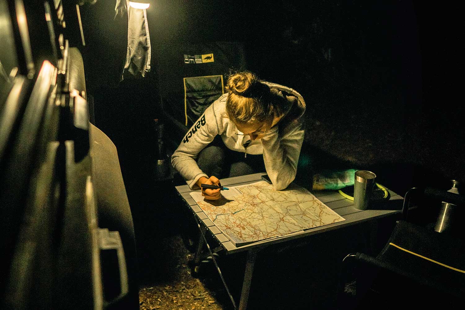
After the planning stage, it’s time to actually go! To get to your destination, or to take the route you’ve planned, you need navigation. Although road signs also belong to this category, we’ve opted (mostly) for its digital counterpart, which often showcases even the smallest of tracks. And that, in turn, brings you to the most beautiful places.
7. OsmAnd
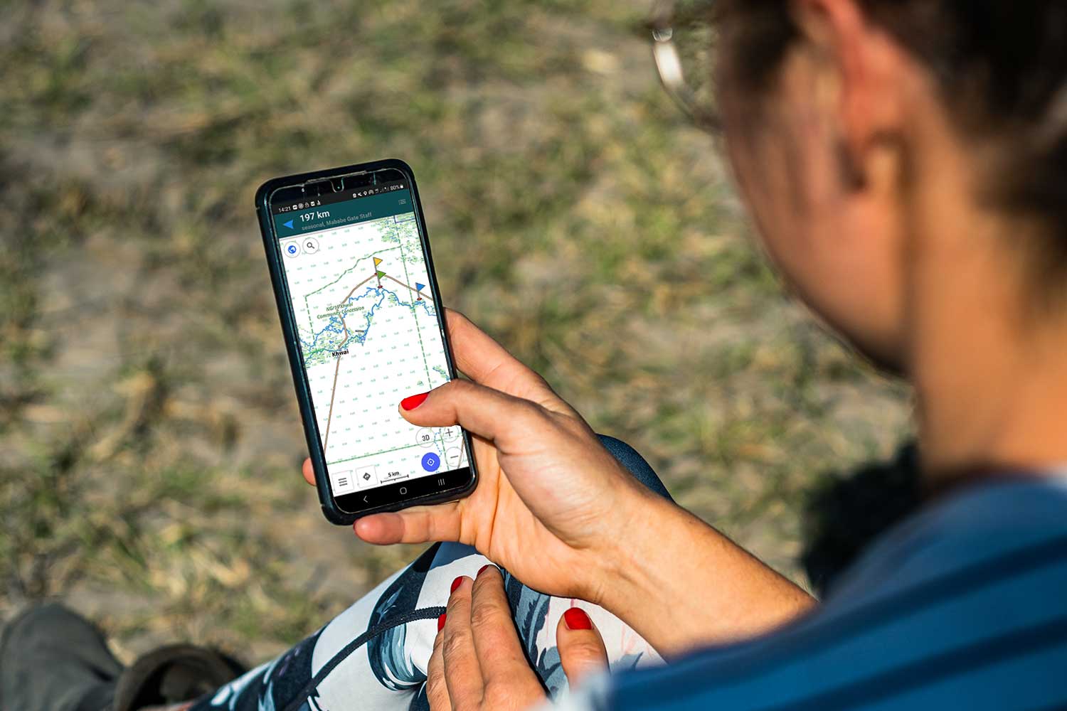
The first app on our list is called OsmAnd. This app is based upon open source data, yet has more features than you can imagine. What we love about OsmAnd is its detailed mapping system, including a variety of options for displaying your map. It easily shows you, and navigates you, from point A to B, even in very remote locations. We only started using this app in Nigeria, but soon fell in love with it. Of course, it has some quirks, but it really stands out in their track visualization.
There are some differences between the free and pro versions, but even the free version is useful already. The pro, however, lets you download some extra data offline, as well as provides you with unlimited country downloads.
8. Google Maps
The good old Google Maps is also on this list, as it provides ample information, is easy to use (most people already know how to use it), and works perfectly in cities. For those who prefer satellite imagery instead of the standard mapping visualization, Google Maps has you covered.
Perfect for when you have a stable internet connection, less ideal in Africa. But still, we use it with much love whenever we enter a city or want to scout the remote area that lies ahead. It does have an option to download certain regions offline, but we haven’t found a way to really make use of that when venturing off-grid.
Text continues below photo
9. Maps.Me
Maps.Me is another navigation app, similar to OsmAnd. We used this app for years during our Europe expeditions and holidays. Similarly to OsmAnd it is based on open-source data and provides you with a good overview of the roads ahead. It enables you to download countries for offline navigation and planning.
Besides that, it is a great app to categorize and add labels for points of interest. With the latter in mind, this might be the app to use for offline trip planning. Although not as elaborate as MyMaps from Google, it does work offline. In Africa we switched from Maps.Me to OsmAnd because of the clearer visualization of the tracks. However, we still believe Maps.Me is a great addition to your navigation arsenal.
10. Garmin – dedicated SatNav device
What we discovered during our Africa Expedition, is that a dedicated navigation device can be an absolute lifesaver. Heat can stress your phone so much that it stops working when you’re in the middle of nowhere – or the city center, for that matter – and that’s the last thing you’d want.
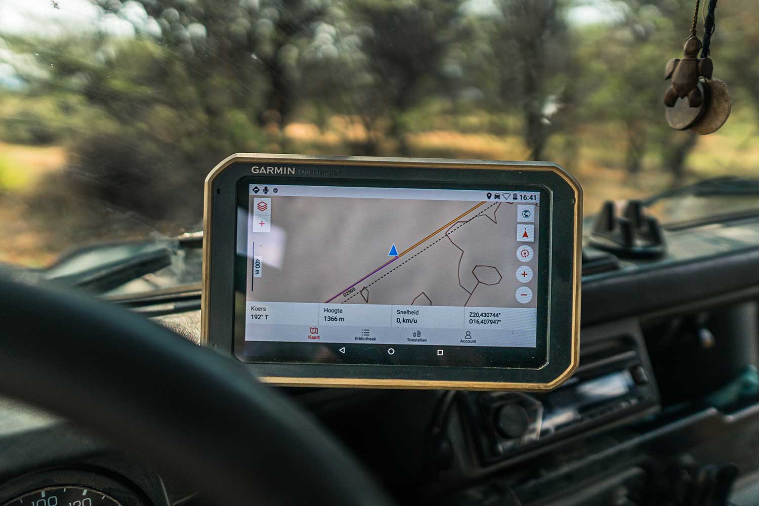
Our Garmin Overlander is our dedicated SatNav (satellite navigation) device, and although there are pros and cons to this device (here’s our full review), we are grateful that we brought it along with us. We use it everyday and it’s our main navigation device. It includes basic Tracks4Africa data (not comprehensive enough to make the Tracks4Africa app redundant) and iOverlander data for easy navigation to your POIs (points of interest). We use this device as our basis, but often find ourselves checking one of the apps on our phones too.
11. Tracks4Africa Maps
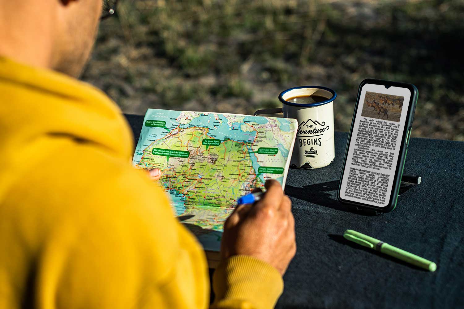
And last but definitely not our last choice is Tracks4Africa again. Besides their app, which is great for finding POIs as well as seeing the types of tracks you’ll be driving on, their paper maps have some nifty add-ons that you don’t want to miss out on. For example, every track displayed has its length and estimated time of travel displayed. This enables you to navigate through every country without hesitation. One thing we found out relatively quickly is that time estimates on SatNav devices, or apps, are far from accurate. We quickly switched them to display distance instead. The estimated travel times on these Tracks4Africa maps, however, are based upon the experience of other travelers driving these specific roads. Making them very reliable. The more you use this map and compare its travel time to your own travel time, the better you’ll become at planning your route and navigating accordingly.



0 Comments
Trackbacks/Pingbacks